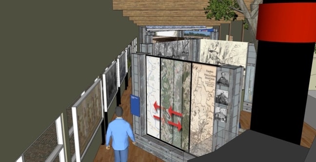
Holt Collier Visitor and Interpretive Center: Sharkey County, Mississippi

Steele’s Bayou Civil War Campaign
Steele’s Bayou Campaign Maps
The route used by the Union fleet during the Steele’s Bayou Campaign is shown on the 1863 map. As a result of the meandering of the Mississippi River and its tributaries, this route no longer exists. To see the dramatic changes to the landscape since the Civil War, slide the modern map and satellite photo of the region over the campaign map.

1543 Brobridge Drive / Jackson, Mississippi 39211
tel (601) 957-9660
All images are the property of Hollomon Architecture, P.A. / The Hollomon Group, Inc. All rights reserved.


